非公式ウェブサイト

Vatican Gallery of Maps

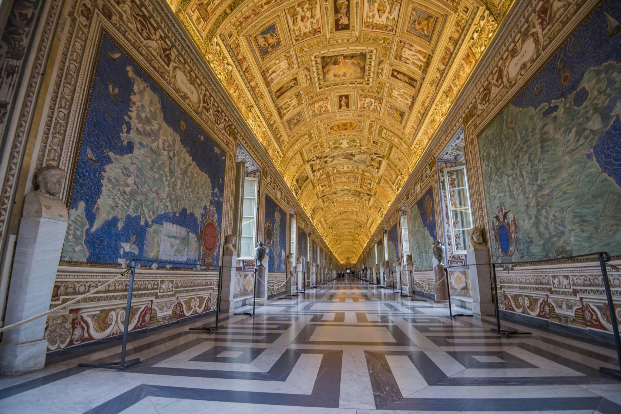
について 地図のギャラリー での バチカン美術館 is one of the most visually stunning and historically significant corridors in the museum complex. Created between 1580 and 1583 under the direction of Pope Gregory XIII, the gallery features a series of 40 large frescoed maps that depict the various regions of Italy, along with important cities and territories that were part of the Papal States. These maps, painted by the artist Ignazio Danti, offer a fascinating glimpse into the geography, history, and cartography of the 16th century.

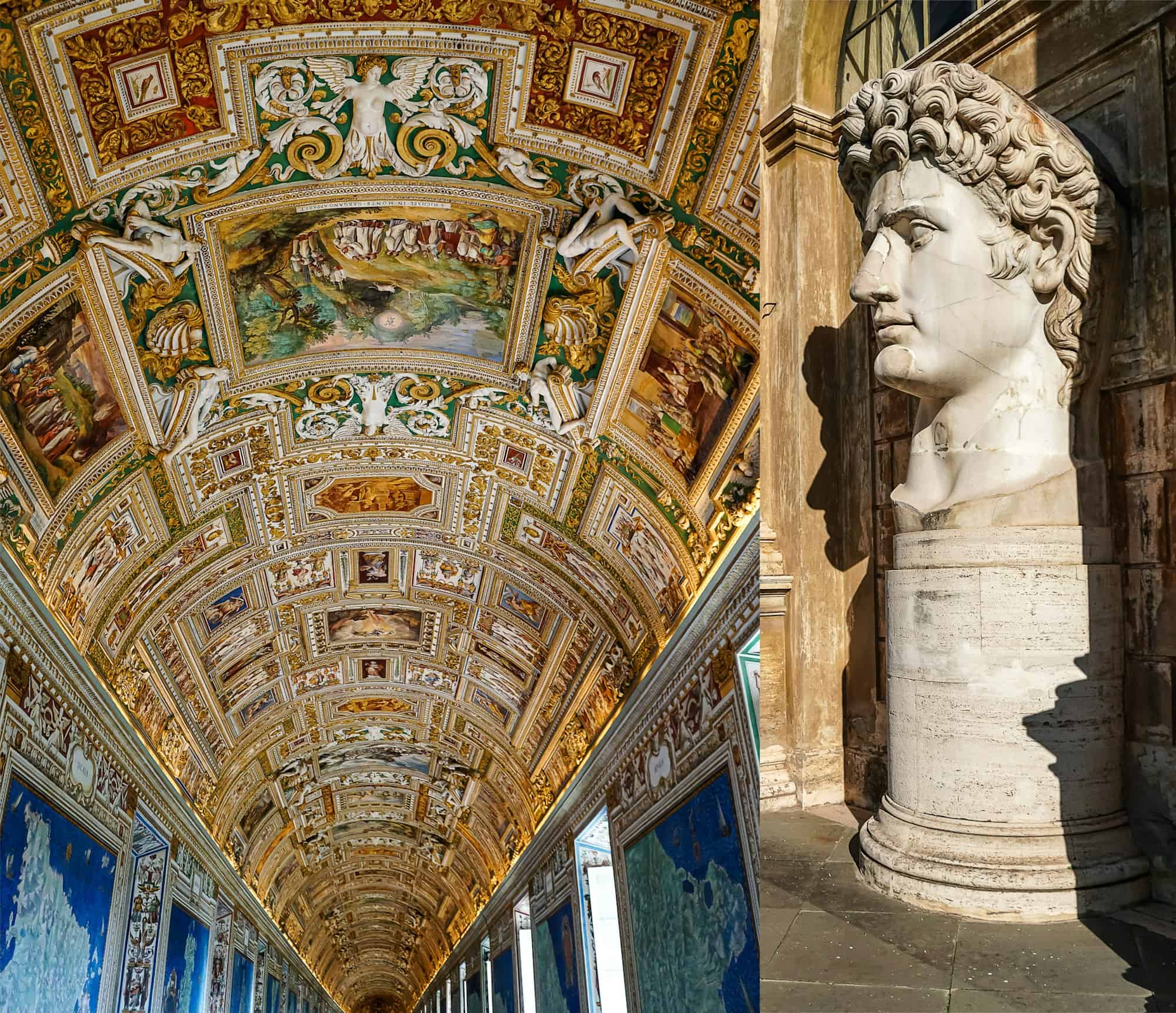
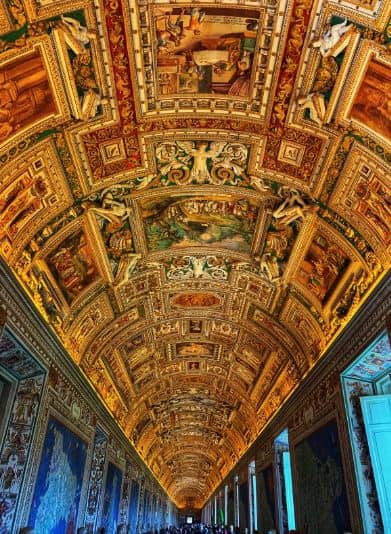
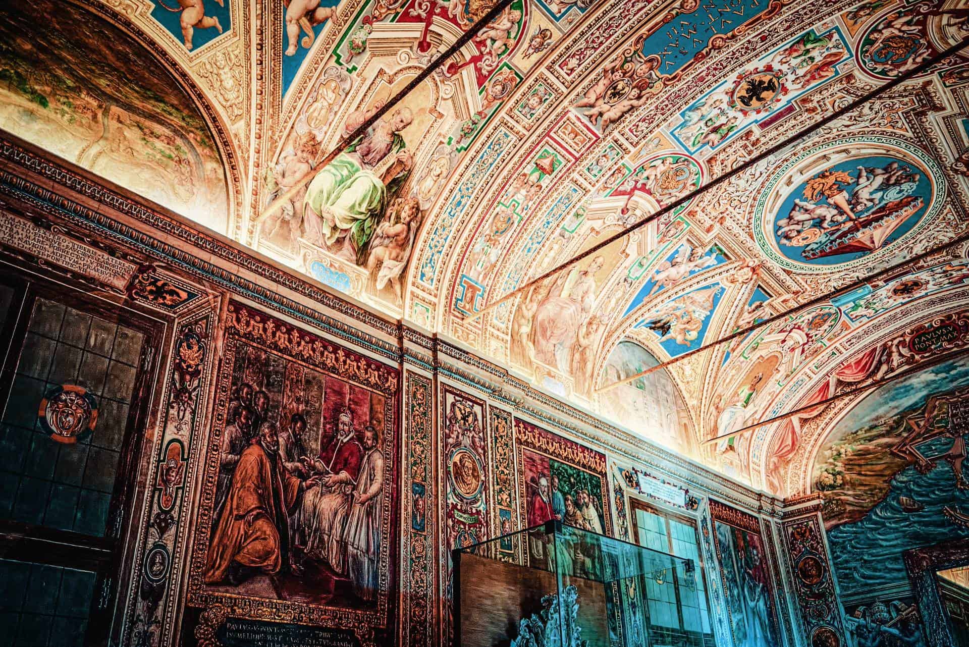
Stretching for 120 meters, the Gallery of Maps is an impressive space not only for its size but also for its artistic grandeur. The vaulted ceiling is richly decorated with detailed frescoes that depict religious scenes and symbols, adding to the gallery’s magnificent atmosphere. Each map is incredibly detailed, showing mountains, rivers, cities, and even historical events, making it a combination of artistic beauty and scientific knowledge.

The Gallery of Maps is part of the main visitor route and leads towards the Sistine Chapel. Its vibrant colors, intricate details, and historical importance make it one of the most memorable stops in the Vatican Museums, offering visitors an extraordinary journey through the landscapes of Renaissance Italy.

役立つ情報

営業時間

  • 月曜日~土曜日午前9:00~午後6:00(最終入場は午後4:00)。.
  • 毎月最終日曜日:午前9:00~午後2:00まで入場無料(最終入場は午後12:30)。.
  • 休業日日曜日(最終日曜日を除く)、クリスマスやイースターなど特定の宗教的祝日。.

チケット

  • 長蛇の列を避けるため、事前にオンラインでチケットを購入することをお勧めする。.
  • チケットは、待ち時間を減らすために時間指定入場券で予約することができる。.
  • 子供、学生、団体割引あり。.
  • 様々な言語でのオーディオガイドとガイドツアーがある。.

アクセス

The Gallery of Maps is located within the Vatican Museums, along the route that leads to the Sistine Chapel. It is part of the Vatican Museums’ upper galleries, positioned between the Gallery of Tapestries and the Sistine Chapel. Its central location makes it a prominent stop for visitors as they progress through the museum, showcasing a spectacular combination of art and cartography before reaching the iconic Sistine Chapel.

歴史

について 地図のギャラリー (Gallery of the Geographical Maps) is one of the Vatican Museums’ most ambitious examples of “knowledge as spectacle.” On the official Vatican Museums description, the gallery is 120 metres long and 6 metres wide and takes its name from the forty cartographical representations of Italian territories and Church dominions created at the request of Pope Gregory XIII. The aim was to recreate the entire peninsula to scale through a monumental painted cycle, turning geography into a visual statement of scope and authority.

The same Vatican source notes that the gallery was built between 1578 そして 1580 by Ottaviano Nonni, known as Mascherino, and that the gallery was frescoed in less than two years by a large group of artists coordinated by Girolamo Muziano そして Cesare Nebbia. The iconographic project was entrusted to Egnazio Danti, described as a leading scientific figure of the time—Dominican, cosmographer, astronomer, and mathematician—whose role bridges art and early modern science in a single corridor.

From the visitor perspective today, Tiqets’ description captures why the experience still feels so immediate: a long hallway with a shimmering gold ceiling, lined with 40 detailed topographical maps of Italy commissioned in the 16th century, each packed with symbols and places of interest. That density is part of the original intention: the gallery wasn’t meant to be glanced at; it was meant to impress through accumulation, scale, and meticulous detail.

As you walk it now, the Gallery of Maps functions both as art and as a historical document of how Italy was imagined, presented, and “read” in the late Renaissance world of the papacy. It also explains why the Vatican Museums’ corridors are so famous: in this complex, transitional spaces are not neutral. They are where decoration, politics, scholarship, and visual storytelling collide—at full, ceiling-to-floor intensity.

について 地図のギャラリー (Gallery of the Geographical Maps) is one of the Vatican Museums’ most ambitious examples of “knowledge as spectacle.” On the official Vatican Museums description, the gallery is 120 metres long and 6 metres wide and takes its name from the forty cartographical representations of Italian territories and Church dominions created at the request of Pope Gregory XIII. The aim was to recreate the entire peninsula to scale through a monumental painted cycle, turning geography into a visual statement of scope and authority.

The same Vatican source notes that the gallery was built between 1578 そして 1580 by Ottaviano Nonni, known as Mascherino, and that the gallery was frescoed in less than two years by a large group of artists coordinated by Girolamo Muziano そして Cesare Nebbia. The iconographic project was entrusted to Egnazio Danti, described as a leading scientific figure of the time—Dominican, cosmographer, astronomer, and mathematician—whose role bridges art and early modern science in a single corridor.

From the visitor perspective today, Tiqets’ description captures why the experience still feels so immediate: a long hallway with a shimmering gold ceiling, lined with 40 detailed topographical maps of Italy commissioned in the 16th century, each packed with symbols and places of interest. That density is part of the original intention: the gallery wasn’t meant to be glanced at; it was meant to impress through accumulation, scale, and meticulous detail.

As you walk it now, the Gallery of Maps functions both as art and as a historical document of how Italy was imagined, presented, and “read” in the late Renaissance world of the papacy. It also explains why the Vatican Museums’ corridors are so famous: in this complex, transitional spaces are not neutral. They are where decoration, politics, scholarship, and visual storytelling collide—at full, ceiling-to-floor intensity.

もっと見る

レビュー

ヒント

バチカン美術館のトップ・エクスペリエンス

上部へスクロール